Home
About
Collections
Communities
Explore
Stories
Photos & Visuals
Publications
Online Media
Documents
Trivia
Timeline
CFB Rivers Online Tour
How To
Contact
Contact
What’s Your Story?
Collection
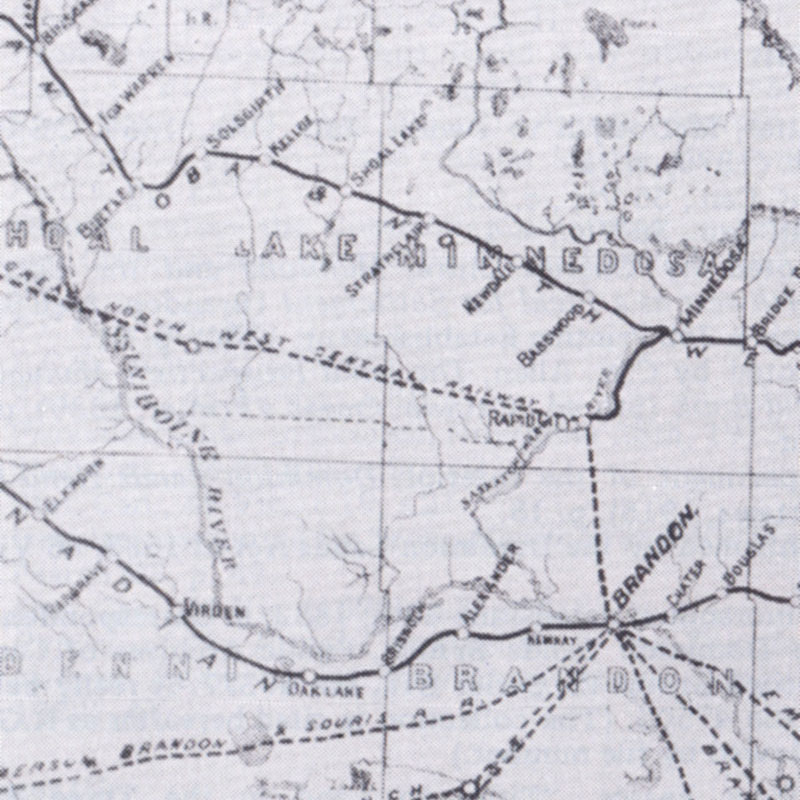
Historic Maps - The Railway
Stories
Historic Maps - The Railway
Visual Items
(Showing 5 visual items of 15 found)
A Route for the CPR: The Alternatives
Automobile Road Map of Manitoba, 1924
Manitoba and the Northwest Territories of Canada Showing the Lines and Land Grant of the Canadian Pacific Railway (1886)
Manitoba Map Showing Counties, 1893
Map of Transport Facilities, Mail Stages, and Group Settlements, SW Manitoba, 1880s
Show All
Archival ID:
HISTORIC-MAPS-RAILWAY
Search for:
About This Collection
Audio Material
0
Documents
0
Online Media Material
0
Publications
0
Stories
1
Visual Material
15